Accessibility
Read more
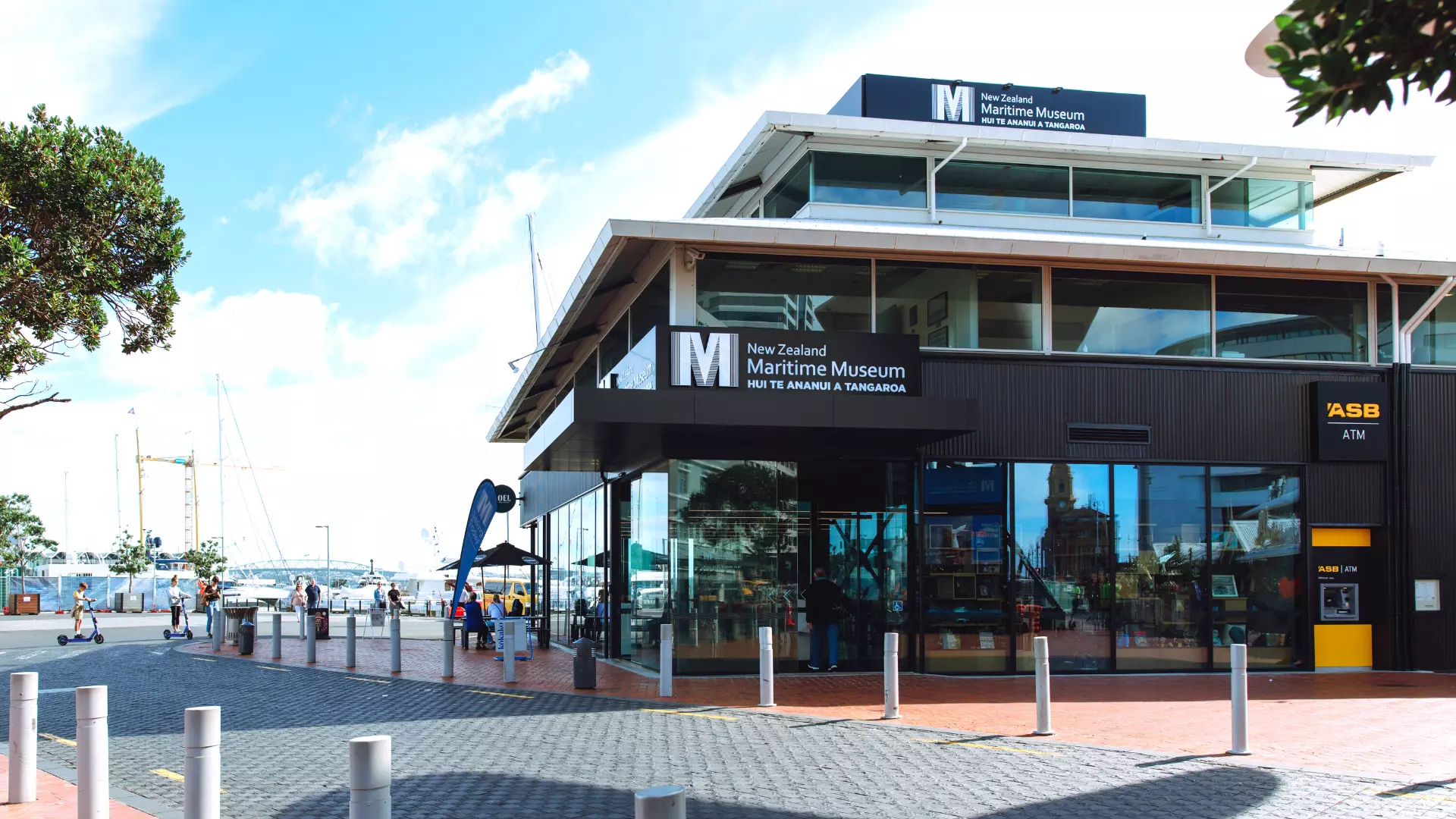
The New Zealand Maritime Museum is located in the heart of Auckland's Viaduct Harbour on the corner of Quay and Hobson Streets. The Museum is situated amongst a range of popular transport links to every part of the city.
The closest car parking is at the Downtown Car Park with access from Customs Street West. There is an overhead walkway that connects this car park to the pedestrian precinct outside the Museum.
There is mobility parking in Downtown Car Park.
Princes Wharf Car Park is also close-by but is more expensive than Downtown Car Park.
Please note the car park at Eastern Viaduct is now closed.
The Waitematā Station is just 10 minutes' walk from the museum, making it easy to get to from the bus or the train.
Use the AT app from Auckland Transport to plan journeys across Auckland’s public transport network.
Passenger ferries run to several Auckland suburbs. The ferry terminal is a five-minute walk from the museum.
Additional ferry services from Great Barrier Island, Rakino Island, Pine Harbour and Waiheke Island are also available from the terminal.
Use the AT app from Auckland Transport to plan journeys across Auckland’s public transport network.
Bike stands are located directly in front of the museum’s entrance, under the large KZ1 yacht.
The Quay street cycleway is a great route along the waterfront to the Maritime Musuem.
See a map of Auckland Central cycleways.
There is a taxi stand located 100 meters away on Princes Wharf and another outside the Beasts and Butterflies Hotel on Quay Street.